File:Relevant Section of the Zoning Map 1.JPG
Jump to navigation
Jump to search
No higher resolution available.
Relevant_Section_of_the_Zoning_Map_1.JPG (318 × 268 pixels, file size: 19 KB, MIME type: image/jpeg)
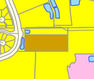
A Cropped Part of the Zoning Map Showing What The Library Area is
File history
Click on a date/time to view the file as it appeared at that time.
| Date/Time | Thumbnail | Dimensions | User | Comment | |
|---|---|---|---|---|---|
| current | 17:15, 30 July 2020 | | 318 × 268 (19 KB) | Eric (talk | contribs) | A Cropped Part of the Zoning Map Showing What The Library Area is |
You cannot overwrite this file.
File usage
The following page uses this file: