File:Satellite Overlay from Gmaps of the same area as GIS Crop 1.JPG
Size of this preview: 768 × 600 pixels. Other resolutions: 308 × 240 pixels | 839 × 655 pixels.
Original file (839 × 655 pixels, file size: 129 KB, MIME type: image/jpeg)
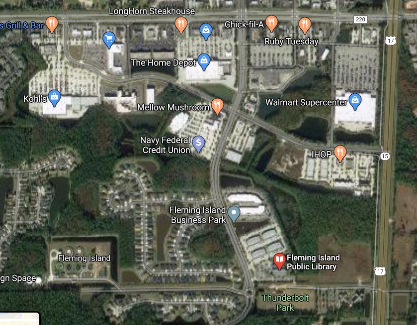
An overlay from google maps (satellite mode) of the same area as the seccond cropped portion of the GIS map.
File history
Click on a date/time to view the file as it appeared at that time.
| Date/Time | Thumbnail | Dimensions | User | Comment | |
|---|---|---|---|---|---|
| current | 17:22, 30 July 2020 | | 839 × 655 (129 KB) | Eric (talk | contribs) | An overlay from google maps (satellite mode) of the same area as the seccond cropped portion of the GIS map. |
- You cannot overwrite this file.
File usage
The following page links to this file: