James Slade DPV Topo
Jump to navigation
Jump to search
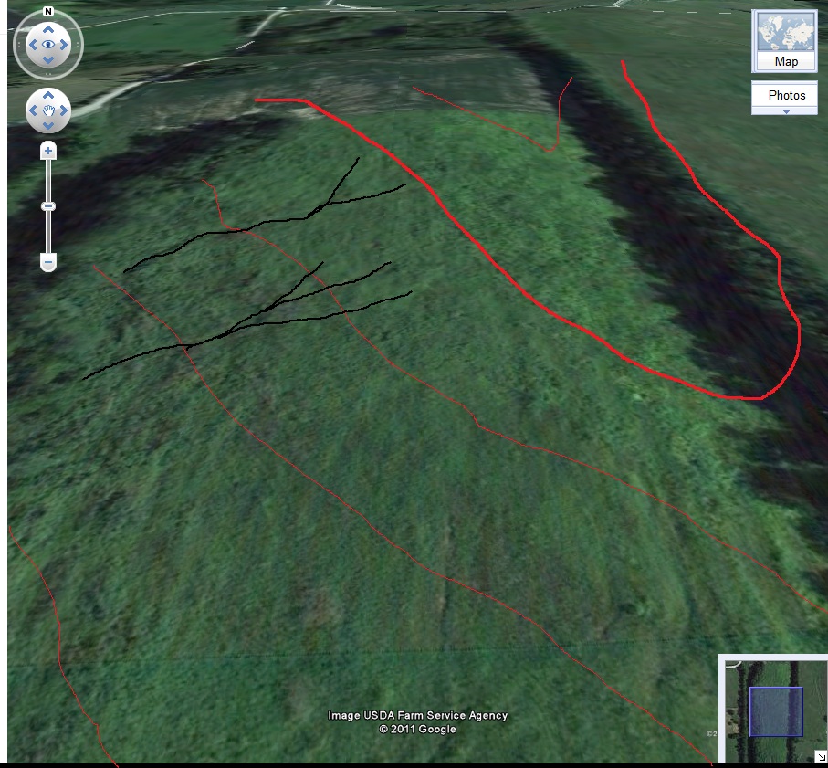
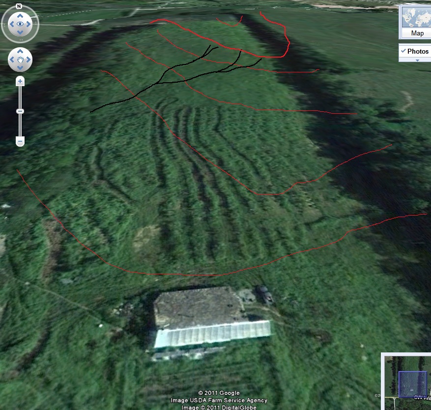
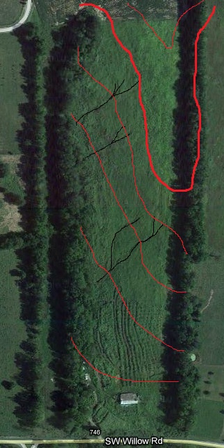
Topographical Satellite View
Back half of the property
Outlined in black appears to be where major erosion is taking place. This can be turned around to actually catch water and retain it. This would gradually drain over time and water the area below it.

Front half of the property
The same goes for the front half of the property. The black lines are what appear to be the most major erosion spots. Creating terrain level channels would stop this erosion, catch the water and also allow for more grow space.

